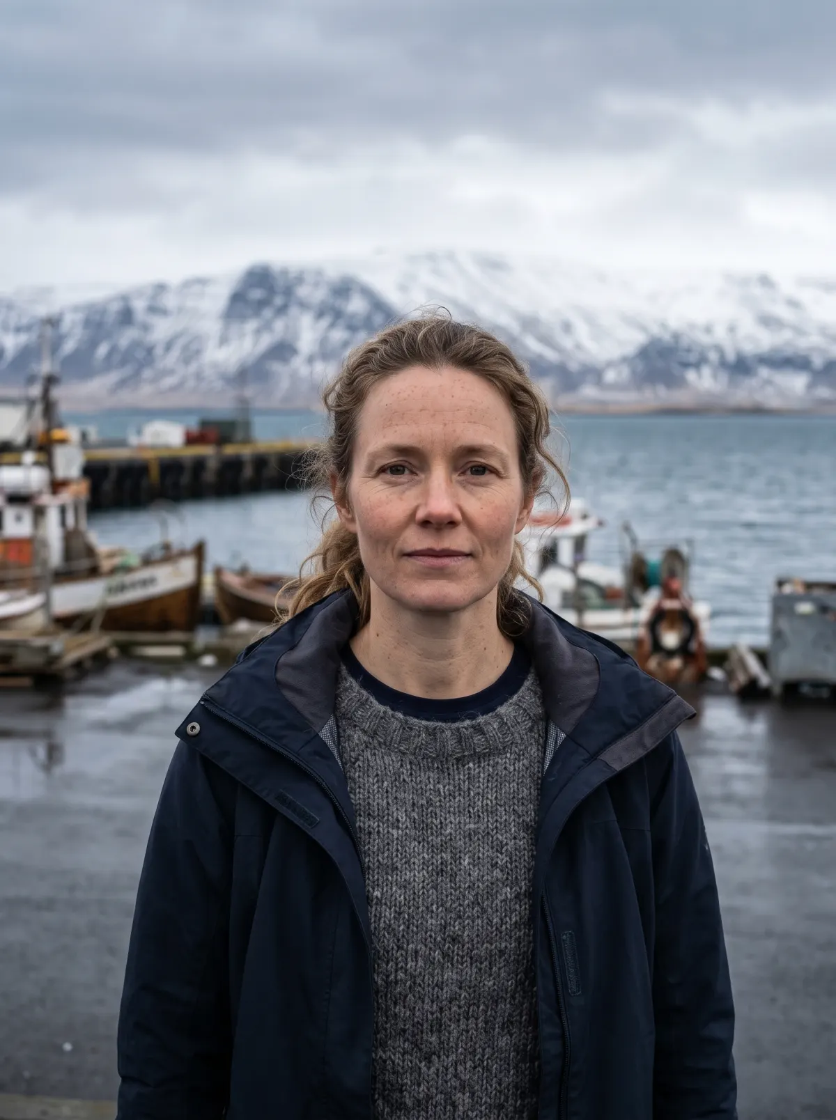
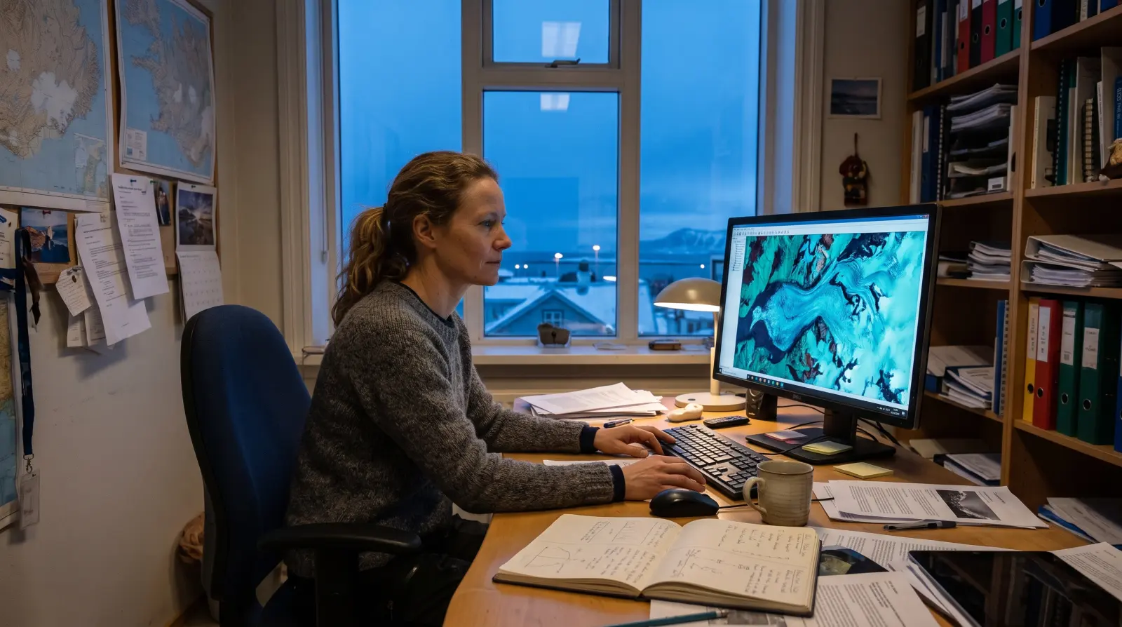
Leysing, Icelandic for the spring thaw, is the model I lead at Fönn Lab. Each morning it reads the newest radar and optical passes over Vatnajökull, Langjökull and Hofsjökull, adds the weather forecast, and predicts surface melt for the next ten days on a 100 metre grid. Hydropower and flood teams plan the water coming off the ice with it.
ReadsSentinel-1 radar, Sentinel-2 and Landsat optical passes, the weather forecast
PredictsDaily surface melt, ten days ahead, 100 m cells
ChangedTen-day runoff error 31 percent lower than the degree-day model it replaced, 2023 to 2025 seasons
Figures from the Leysing forecast archive.
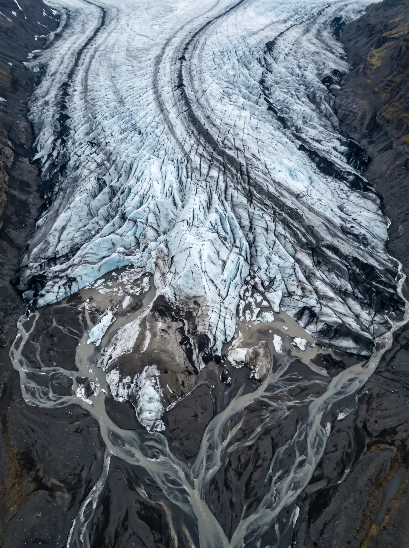
Pixel 1 m64.045°N 16.898°WForecast cell 100 m
Move across the glacier to see the model's cells. Darker ice melts faster. Click to keep a reading, Escape clears them.
Three things the ice taught the model.
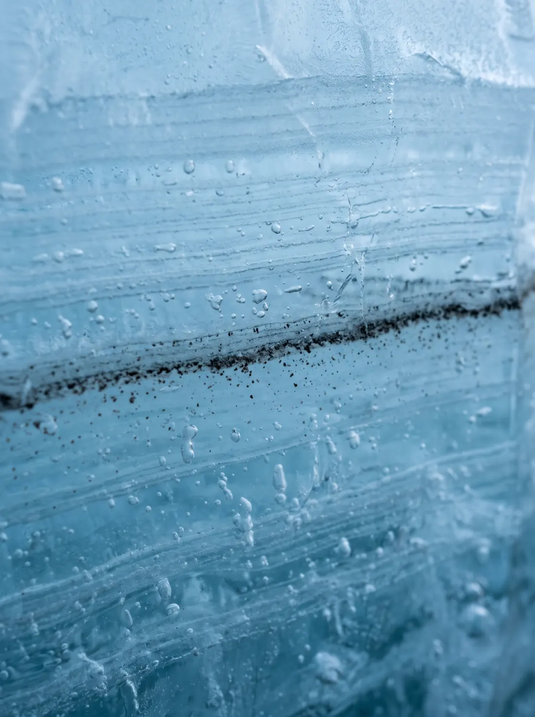
Pixel 1 m64.452°N 17.103°WCore FÖ-23-4, depth 11.2 m
2024
Ash on ice
A segmentation model that finds tephra and dust on the ice surface in 10 metre Sentinel-2 images. Dark ice absorbs more sun and melts faster, so the ash map now feeds Leysing every week.
What changedSummer melt error on the south outlets fell by a fifth once the ash map went in.
When a lake beneath the glacier drains, radar interferometry shows the ice surface sagging by a few metres. My detector reads every pass and flags the sag on its own.
What changedIn 2025 it warned of two floods from the Skaftá cauldrons about 30 hours before the river gauges rose.
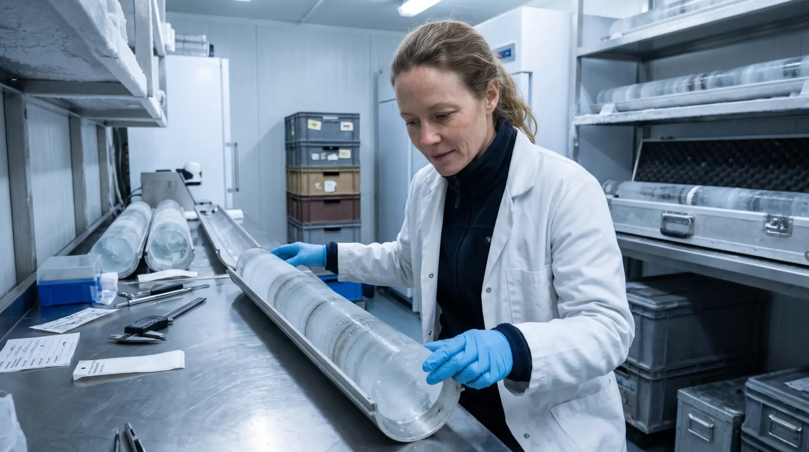
Pixel 1 m64.156°N 21.951°WCold room, minus 20 °C
2023 to now
What the satellites cannot see
Each spring I drill shallow cores in the accumulation zone. Their layers tell the model how dense last winter's snow is and where old ash lies, which no satellite pass can measure.
What changedDensity error at depth roughly halved against the fixed-density guess the model used before.
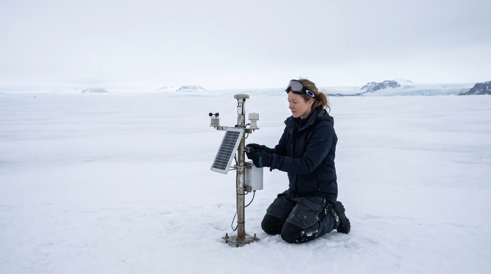
Pixel 1 m64.371°N 16.882°WMast V2, 1,340 m, Vatnajökull
Every forecast gets checked on the ice.
Fourteen ablation stakes and three weather masts on Vatnajökull report every hour. Each week I compare what Leysing said with what the stakes measured, and twice a summer I go up and read them myself.
Where it is still wrong
Leysing is least reliable in the first warm week of spring, when wet snow confuses the radar, and after a fresh ash fall that no optical pass has seen yet. In those weeks the map marks itself uncertain, and the people downstream decide with a person on the phone.
The path so far.
Posts and study
2022 to nowLead scientist, climate AIFönn Lab, Reykjavík
2019 to 2022Postdoctoral researcher, glacier remote sensingNordic Ice Observatory, Tromsø
2018PhD, GlaciologyUniversity of Iceland
2012BSc, PhysicsUniversity of Iceland
Talks and papers
2025Leysing: ten-day surface melt forecasts for Icelandic ice capsPaper, open access
2025What a 300 metre pixel knows about a glacierPublic lecture, Reykjavík, in Icelandic and English
2024Tephra on ice: segmenting ash layers in Sentinel-2 imageryPaper
2023Teaching a model what a stake knowsWorkshop talk on field validation
I supervise MSc and PhD projects in glacier remote sensing. Students can write through the form below.
Radio the station.
Ask about the forecasts, the fieldwork or the data. The station answers from Sólveig's field notes on this page.
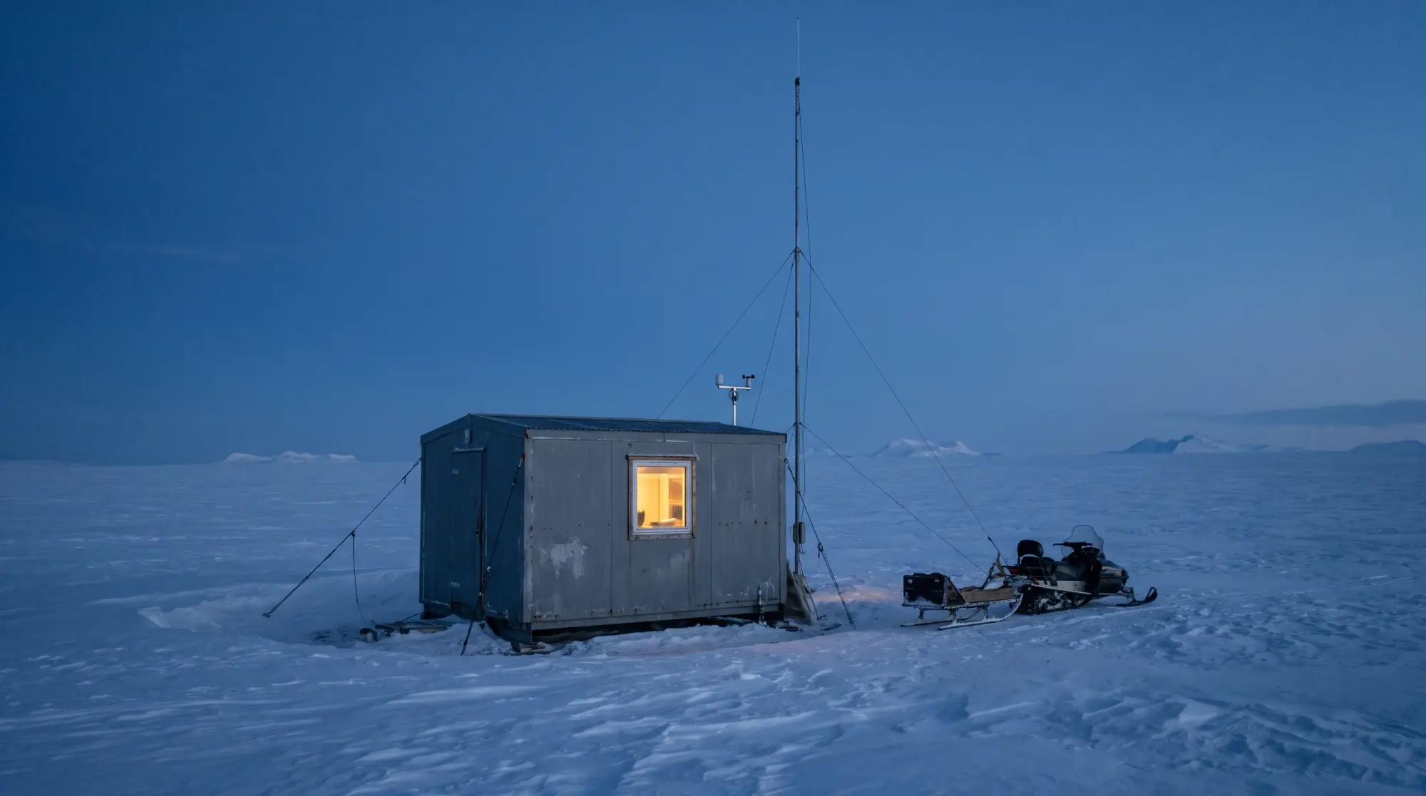
Pixel 1 m64.400°N 16.952°WFönn field hut, 1,520 m
FÖNN ONE · field radio log · channel 300:00:00 GMT
Field radio log. Answers from Sólveig's notes. Scripted, not Sólveig.
Receiving
Frequent traffic
Answers from Sólveig's notes. Scripted, not Sólveig.
Invite me to lecture, or ask for the data.
Forecast archives and the ash maps are open to researchers and water managers. Lectures in Icelandic or English, for universities, schools and public audiences. I answer within five working days.